
AnglerTrove
7-day free trial River Alerts

Follow the rivers you fish. Know when conditions change.

Choose the river sections you fish across Colorado, Montana, Michigan, Oregon and Washington. See flow, water temperature and agency notices in one place, and get them by email when you want them.

No card needed. Up to 3 rivers during the trial.
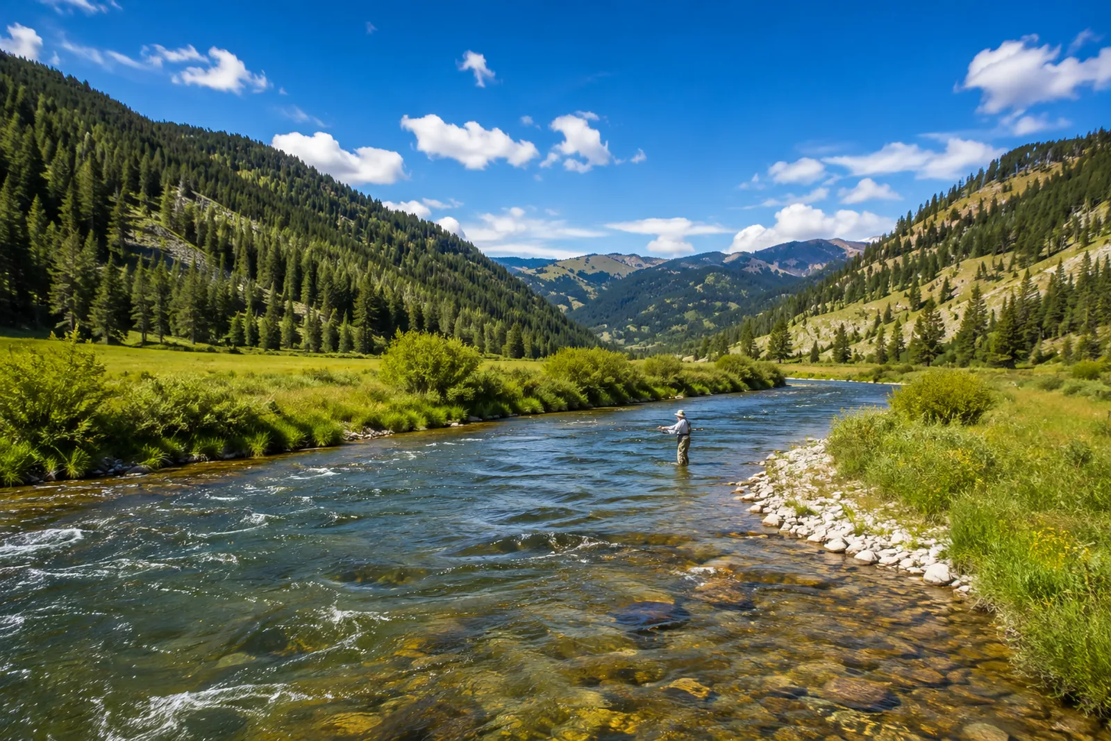
An angler wading the Gallatin River in Gallatin Canyon, Montana

What you get

Everything you check before a trip, for the rivers you choose

Follow river sections

Pick the sections you actually fish, up to 25 on a plan. Each one is a named stretch of river, not a whole river or a whole state.

Flow and water temperature

The latest readings where a gauge reports them. Some sections have flow but no temperature, and we say so rather than fill the gap.

A conditions rating on most sections

A conditions rating from our data partner on most sections. Others are deliberately not rated and show measured conditions only.

Closures and advisories, up front

Agency safety advisories and closures are shown first and clearly, in the agency's own terms, with where to confirm them.

Reports and alerts by email

A daily report, a weekend outlook, and alerts when things change. Each one is on only if you want it, and every email has a one-click unsubscribe.

Honest about its limits

It tells you when data is missing, old or provisional, and never fills a gap with a guess.

Examples

What a followed river looks like

Three examples with made-up numbers, to show the layout. They are not current conditions for these rivers.

Gallatin Canyon

Gallatin River · MT

Example
Good 7.4/10 Conditions rating
Flow
412 cfs
Water temp
52°F

Checked 11 minutes ago

Marblemount to Rockport

Skagit River · WA

Example
Conditions only Not rated: measured conditions shown
Flow
3,850 cfs
Water temp
44°F

Checked 8 minutes ago

Salida

Arkansas River · CO

Example

Closed by the agency

An example of a mandatory closure. It is shown first, with the agency's notice and where to confirm it, and the rating is not shown while it stands. Flow is still shown as measured.
Rating not shown during a closure
Flow
296 cfs

Checked 14 minutes ago

Before you rely on it

What River Alerts is, and what it is not

  • Checked about every 15 minutes Not real time. A change that comes and goes between two checks can be missed.
  • Readings can be provisional Gauge data is often provisional when first published and can be revised later.
  • Always confirm with the agency Closures, regulations and advisories come from state and federal agencies. Their notice is the one that counts.
  • Not a safety guarantee River Alerts is information to help you plan. It never tells you a river is safe, and conditions on the water can change fast.
  • Where the data comes from The USGS, state wildlife agencies and the National Weather Service. Ratings are a conditions rating from our data partner.
  • Not every section is rated Some sections show measured conditions only. That is deliberate, and each one is labelled.

Coverage

73 river sections across 5 states

Each section is marked Rated (it carries a conditions rating) or Conditions only (measured conditions, no rating).

Colorado 15 sections · 15 rated
  • Browns Canyon Arkansas River Rated
  • Salida Arkansas River Rated
  • Silverthorne Tailwater Blue River Rated
  • Glenwood Canyon Colorado River Rated
  • Pumphouse Colorado River Rated
  • Eagle — Wolcott to Gypsum Eagle River Rated
  • Ruedi Tailwater Fryingpan River Rated
  • Gunnison — Almont to Gunnison Gunnison River Rated
  • Roaring Fork — Basalt to Carbondale Roaring Fork River Rated
  • Cheesman Canyon South Platte River Rated
  • Deckers South Platte River Rated
  • Dream Stream South Platte River Rated
  • Eleven Mile Canyon South Platte River Rated
  • Taylor — Taylor Park Tailwater Taylor River Rated
  • Yampa — Steamboat Springs Yampa River Rated
Montana 14 sections · 14 rated
  • Beaverhead — Clark Canyon Tailwater Beaverhead River Rated
  • Big Hole — Glen to Twin Bridges Big Hole River Rated
  • Big Hole — Melrose Big Hole River Rated
  • Bighorn — Afterbay Tailwater Bighorn River Rated
  • Bitterroot — Darby to Hamilton Bitterroot River Rated
  • Blackfoot — Lower Canyon Blackfoot River Rated
  • Clark Fork — Missoula Clark Fork River Rated
  • Gallatin Canyon Gallatin River Rated
  • Madison — Beartrap Canyon Madison River Rated
  • Madison — Below Hebgen Madison River Rated
  • Madison — Varney to Ennis Madison River Rated
  • Missouri — Below Holter Missouri River Rated
  • Rock Creek — Lower Rock Creek Rated
  • Yellowstone — Paradise Valley Yellowstone River Rated
Michigan 14 sections · 8 rated
  • Au Sable — Holy Water Au Sable River Rated
  • Au Sable — North Branch Au Sable River Rated
  • Au Sable — South Branch (Mason Tract) Au Sable River Rated
  • Au Sable — Trophy Water below Mio Au Sable River Rated
  • Boardman — Upper Boardman River Rated
  • Jordan — Lower Jordan River Conditions only
  • Manistee — Below Tippy Dam Manistee River Conditions only
  • Manistee — CR 612 to M-72 Manistee River Rated
  • Manistee — M-72 to CCC Bridge Manistee River Rated
  • Muskegon — Below Croton Dam Muskegon River Conditions only
  • Pere Marquette — Flies-Only Water Pere Marquette River Conditions only
  • Pine — Lincoln Bridge to Peterson Bridge Pine River Rated
  • Platte — Honor Platte River Conditions only
  • Rifle — Sterling Rifle River Conditions only
Oregon 14 sections · 5 rated
  • Clackamas — Upper Clackamas River Conditions only
  • Crooked — Lower Canyon Crooked River Rated
  • Lower Deschutes — Mouth Deschutes River Conditions only
  • Lower Deschutes — Warm Springs to Trout Creek Deschutes River Conditions only
  • Grande Ronde — Troy Grande Ronde River Conditions only
  • McKenzie — Vida to Leaburg McKenzie River Rated
  • Metolius — Camp Sherman to Bridge 99 Metolius River Rated
  • North Umpqua — Fly Water North Umpqua River Conditions only
  • Owyhee — Tailwater Owyhee River Rated
  • Rogue — Upper (Below Lost Creek) Rogue River Conditions only
  • Sandy — Dodge Park to Oxbow Sandy River Conditions only
  • Siletz — Moonshine Park to Siletz Siletz River Conditions only
  • Williamson — Lower Williamson River Rated
  • Wilson — Tillamook Wilson River Conditions only
Washington 16 sections · 3 rated
  • Bogachiel — Forks Bogachiel River Conditions only
  • Cowlitz — Below Mayfield Dam Cowlitz River Conditions only
  • Hoh — Lower River Hoh River Conditions only
  • Klickitat — Lower Klickitat River Conditions only
  • Lewis — East Fork (Heisson) Lewis River Conditions only
  • Methow — Winthrop to Twisp Methow River Conditions only
  • Nooksack — North Fork Nooksack River Conditions only
  • Sauk — Lower Sauk River Conditions only
  • Skagit — Marblemount to Rockport Skagit River Conditions only
  • Skagit — Upper (Newhalem) Skagit River Rated
  • Skykomish — Gold Bar to Sultan Skykomish River Conditions only
  • Snoqualmie — Middle Fork Snoqualmie River Rated
  • Stillaguamish — North Fork Stillaguamish River Conditions only
  • Wenatchee — Leavenworth to Peshastin Wenatchee River Conditions only
  • Wind — Carson Wind River Conditions only
  • Yakima — Upper Canyon Yakima River Rated

Pricing

Start free. Then one simple plan.

A 7-day free trial with no card, for up to 3 rivers. Then either plan, for up to 25 rivers. Both include every feature.

Monthly

$5.99

per month

  • Up to 25 river sections
  • Daily and weekend email reports
  • Alerts when conditions change
  • Cancel any time

Annual

$29.99

per year

About $2.50 a month, billed yearly

  • Up to 25 river sections
  • Daily and weekend email reports
  • Alerts when conditions change
  • Cancel any time
Start your free 7-day trial

Plans renew automatically each month or year until you cancel. Cancel any time from your account; your plan runs to the end of the period you paid for. Billing is handled securely by Lemon Squeezy; we never see your card. Terms · Refunds

FAQ

River Alerts questions

Is River Alerts available now?

Yes. Start a 7-day free trial with no card, then choose a plan if you want to keep it.

Is it real time?

No. Conditions are checked about every 15 minutes, and a change that comes and goes between two checks can be missed. Gauge readings can also be provisional.

Does it tell me whether it is safe to fish?

No. It shows measured conditions and the agency closures and advisories it knows about. It is information to help you plan, not a safety guarantee. Always confirm with the agency before you go, and use your own judgement on the water.

Why are some sections not rated?

Some water cannot be rated well from the data available, so those sections are deliberately left unrated and show the measured conditions instead. Each one is labelled Conditions only.

Where does the data come from?

River readings come from the USGS, state wildlife agencies and the National Weather Service. Ratings are a conditions rating from our data partner.

What happens after the free trial?

Your emails stop unless you choose a plan: $5.99 a month or $29.99 a year. Your rivers and settings are kept either way. No card is taken for the trial, so nothing is charged automatically.

Can I cancel?

Yes, any time, online from your account. Cancelling stops the next renewal; your plan keeps working until the end of the period you paid for. Billing is handled by Lemon Squeezy.

Can I get a refund?

Yes. Email us within 14 days of a charge, first payment or renewal, and we refund it in full and cancel the plan. The refund policy has the details.

River Alerts

Choose your first rivers today.

Start your free 7-day trial